
Datasets:

You need to agree to share your contact information to access this dataset
This repository is publicly accessible, but you have to accept the conditions to access its files and content.
This repository contains evaluation samples from AerialDataset. Access is provided under the AerialDataset Sample Evaluation License. Commercial use, model training, fine-tuning, redistribution, publication, and production use require separate permission or a commercial license.
Log in or Sign Up to review the conditions and access this dataset content.
AerialDataset — Multi-View Drone Imagery and 3D Scene Samples
This repository contains a curated evaluation sample from AerialDataset, a commercial catalog of real-world drone imagery and associated reconstructed spatial data.
AerialDataset is designed for organizations working with AI, computer vision, geospatial intelligence, 3D reconstruction, robotics, and spatial computing that need real-world aerial scenes rather than isolated stock imagery.
What the sample demonstrates
The photographs in each sample scene originate from the same drone capture and overlap spatially, allowing users to inspect the relationship between source imagery and reconstructed representations of the environment.
Depending on the individual scene, available products may include:
- Original drone photographs
- Photogrammetric point clouds
- Textured 3D meshes
- Orthomosaics
- Digital surface models
- Camera and capture metadata
Not every AerialDataset scene contains every product. The contents of each sample are documented individually.
Featured evaluation scene
Andel drone capture — AD-B9907EDC
A complete photogrammetry capture showing the relationship between overlapping drone photographs and reconstructed spatial products from the same real-world scene.
Sample contents
- 61 original full-resolution drone photographs
- Orthomosaic
- Point-cloud data
- Textured 3D mesh
- Camera data
- Scene metadata
- 73 files in the complete package
- Approximately 814 MB compressed download
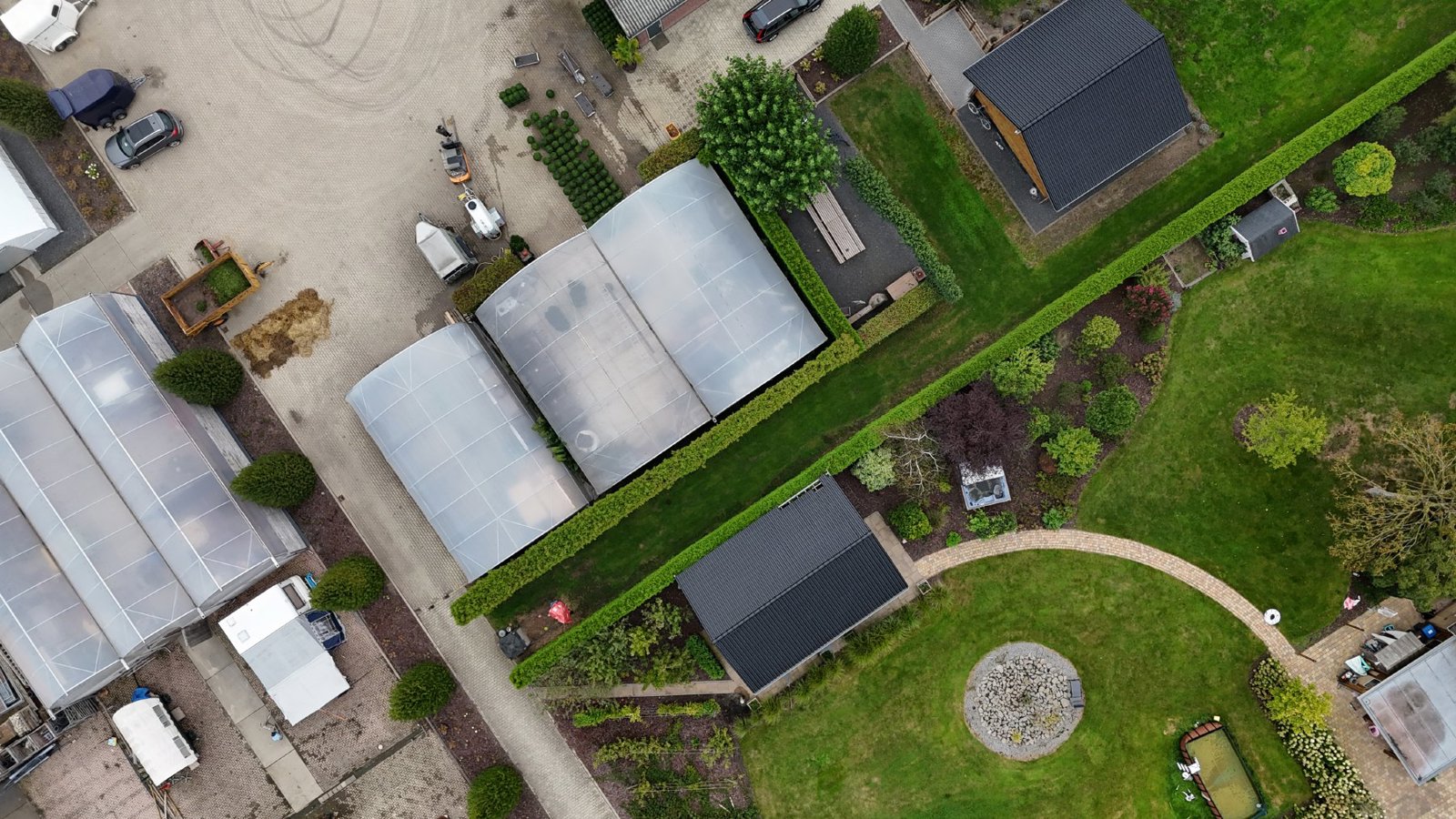
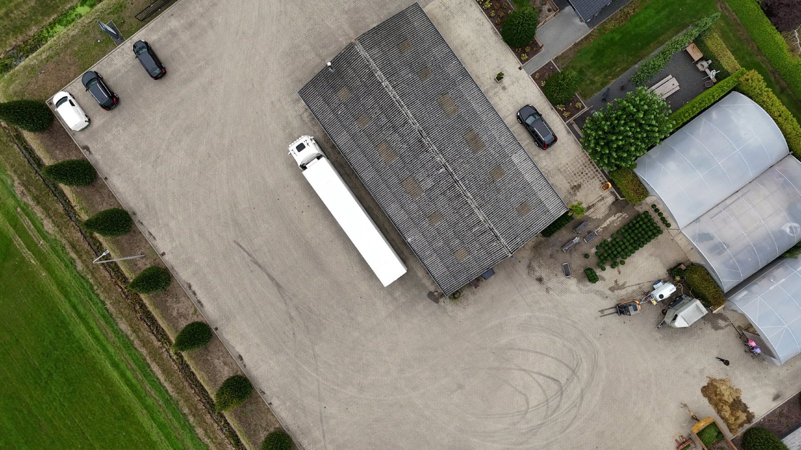
The repository includes five representative source-image previews. The complete evaluation package is available after accepting the sample evaluation terms.
Browse the full AerialDataset catalog →
Request a commercial dataset or custom collection →
Source imagery
Why this data is different
Many image datasets provide independent images with limited spatial context.
AerialDataset preserves groups of overlapping photographs representing the same physical environment and, where available, the spatial products reconstructed from those photographs.
This makes the data potentially useful for evaluating workflows involving multi-view imagery, aerial scene understanding, 3D reconstruction, spatial AI, geospatial analysis, robotics, and related computer-vision applications.
Sample license
These files are provided under the AerialDataset Sample Evaluation License:
https://aerialdataset.com/sample-terms
The sample is intended for internal inspection and compatibility evaluation.
Model training, fine-tuning, redistribution, publication of the files, production use, and other commercial uses require separate written permission or a commercial AerialDataset license.
Important limitations
Photogrammetric products are reconstructed outputs and should not automatically be treated as independently surveyed ground truth.
Accuracy, coordinate systems, available metadata, image characteristics, and reconstruction products vary by scene.
Users should review the documentation accompanying each sample before determining whether the data is suitable for a particular application.
Commercial datasets
AerialDataset provides larger commercially licensable datasets and collections selected by factors such as:
- Geography
- Environment or scene type
- Image count
- Available spatial products
- Required file formats
- Intended AI, computer-vision, or geospatial application
Explore the commercial catalog:
For licensing inquiries:
- Downloads last month
- 19