
(Note that this model is for comparison purposes only. A better performing model can be found here.)
Model description
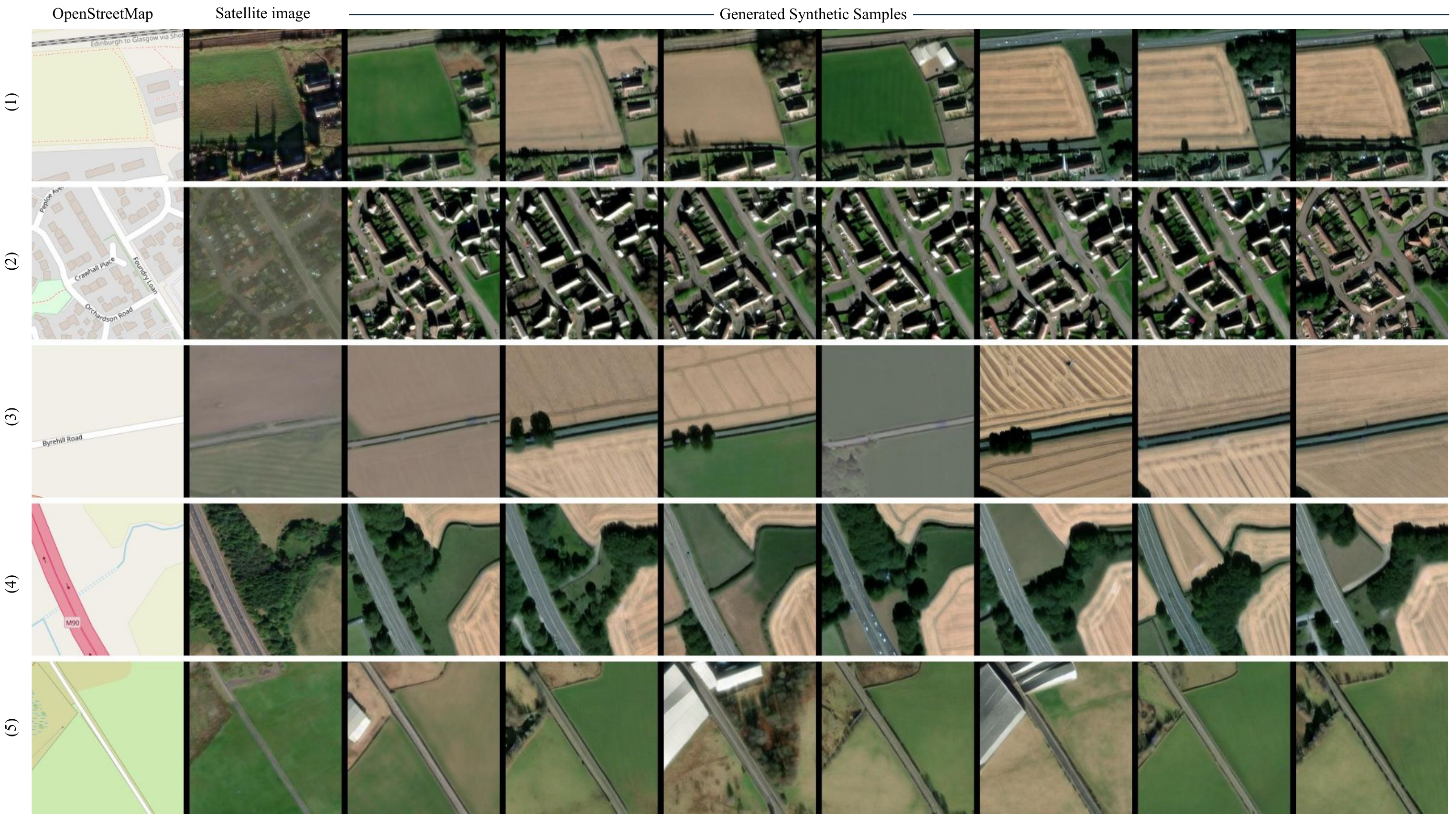
ControlNet model conditioned on OpenStreetMaps (OSM) to generate the corresponding satellite images.
Trained on the region of Scotland.
To access the better performing model trained on the WorldImagery Clarity dataset, see this model.
Dataset used for training
The dataset used for the training procedure is the WorldImagery dataset. This dataset is qualitatively worse than its predecessor WorldImagery Clarity dataset.
The code for the dataset construction can be accessed in https://github.com/miquel-espinosa/map-sat.
- Downloads last month
- 6